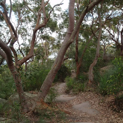
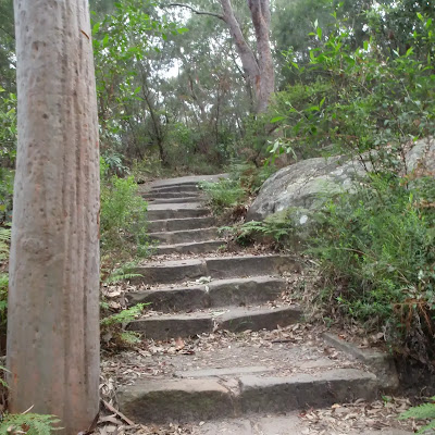
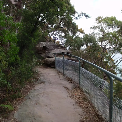
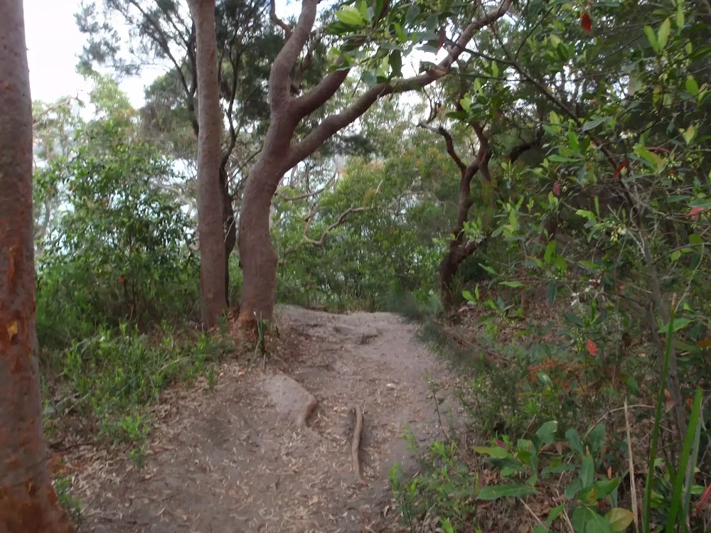
Wildwalks Images
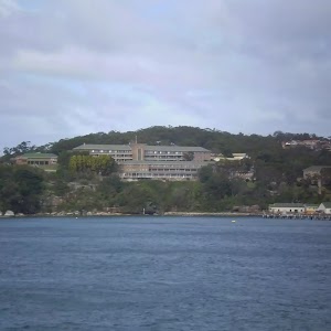
-33.8133724, 151.26055
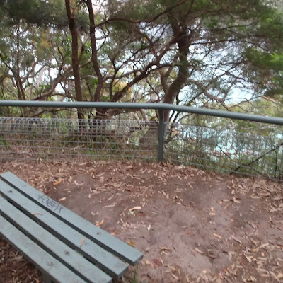
This image is near the Rest area.
Walks near this image
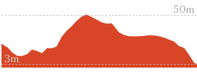

2 km Return
1 Hr
Moderate track
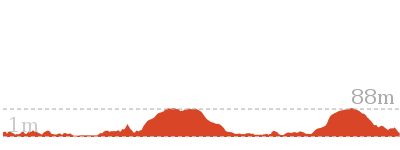
8.7 km Circuit
4 hrs
Moderate track
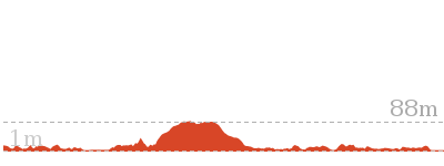
9.1 km One way
3 hrs 45 mins
Moderate track
13.7 km One way
5 hrs 45 mins
Moderate track
18.9 km One way
8 hrs
Hard track
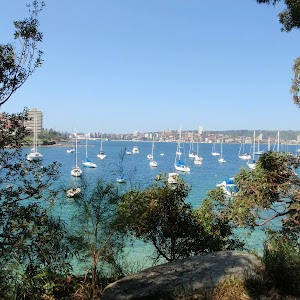
Other nearby images
-33.8133894,151.2605863
-33.8134361,151.2606993
-33.8131541,151.2603513
-33.8135283,151.2611725